






With Mumbai’s coastline changing rapidly, BMC has begun a fresh climate-risk assessment to examine how rising sea levels, coastal development and changing land use could affect the city’s 149-km shoreline. The study will identify vulnerable coastal stretches, assess the impact of future sea-level rise and map populations living in areas adjoining the shoreline.
Why the BMC is reassessing Mumbai’s coastline
The latest assessment comes as major changes reshape Mumbai’s coast. The Coastal Road has brought extensive reclamation along the western seafront, while salt pan lands on the eastern side have been identified for development. A senior civic official involved in the assessment said a fresh study was required as the city’s shoreline has undergone significant transformation over the past five years.
The assessment will differ from global studies by focusing specifically on Mumbai’s geography, development patterns and local factors that could increase coastal vulnerability.
UN report flags record sea-level rise
BMC’s exercise comes against the backdrop of a recent United Nations assessment, which recorded a 5.9 mm rise in global sea levels in 2024, the highest annual increase recorded. The report projects at least 0.5 metre of sea-level rise by 2100, even under aggressive emissions-reduction scenarios. Under a worst-case scenario involving instability of the West Antarctic ice sheet, the rise could reach up to two metres.
Mumbai already faces a serious flooding risk
Mumbai’s first Mumbai Climate Action Plan, released in 2022, identified coastal flooding, rising pollution, loss of green cover and increasing urban heat as major climate risks. The plan also projected that 80% of Mumbai’s island city could be submerged by 2050, highlighting the scale of the long-term threat.
Scientists have linked rising sea levels to global warming and increasing sea surface temperatures. MCAP recorded a gradual rise in Arabian Sea temperatures over the two decades studied, with daytime sea surface temperatures increasing by around 0.025°C per year between 2003 and 2020.
Heavy rain and high tides add to the risk
Changing rainfall patterns and warmer sea temperatures were adding to Mumbai’s vulnerability. As per reports, increasingly erratic rainfall, above-normal precipitation, heavy downpours and high tidal waves can combine to worsen inundation, particularly across the island city.
Development has made Mumbai more vulnerable

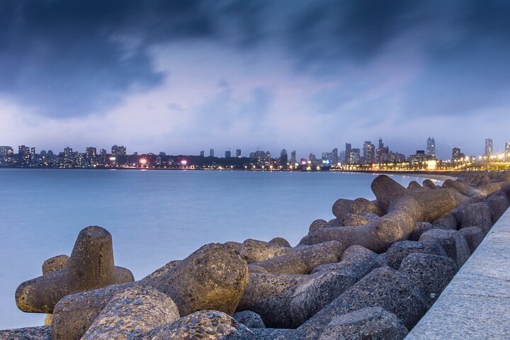
An oceanographer and climate scientist from the Indian Institute of Tropical Meteorology said Mumbai’s vulnerability is a consequence of urban planning and land-use changes. Rapid development and concretisation have reduced floodplains and placed pressure on the city’s rivers and drainage systems. The development of the Bandra Kurla Complex on former mangrove land, along with the encroachment of Mithi River, are examples of this.
Mumbai’s mangroves and floodplains act as natural buffers against floodwater and strong winds. Protecting and expanding these wetlands could help the city manage future sea-level rise while supporting biodiversity and marine habitats. Protecting Mumbai’s remaining mangroves and coastal wetlands will be critical to improving the city’s resilience.
