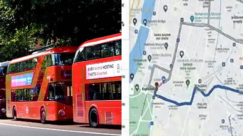
Real-time tracking of Mumbai's BEST buses now LIVE on Google Maps; details
Starting today, Mumbai's bus riders can say goodbye to uncertain waits, as the Brihanmumbai Electricity Supply and Transport (BEST) has partnered with Google Maps to provide real-time bus tracking. Launched on Wednesday, the feature allows commuters to check live bus arrivals, delays, and routes directly on the app.
2,700 BEST buses now smarter with live tracking

With BEST's fleet of 2,700 buses serving 32 lakh passengers daily, the update is a major boost for public transport. Google Maps will now display colour coded indicators- green for on-time buses, and red for delays, along with the estimated travel time. The real-time updates, available in English, Hindi, and Marathi, can be accessed by selecting the public transport option on Google Maps. Users can also search specific stops to check which buses are arriving and when.
Maharashtra CM called the move a major boost to Mumbai’s public transport, while BEST urged commuters to use the feature for smoother travel. Google’s Roli Agarwal said the partnership supports their goal of improving urban mobility, building on similar efforts in 15+ Indian cities.
How It Works-
Open the Google Maps app on your Android or iOS device.
Enter your source and destination, then tap the ‘Go’ icon.
Select the public transport mode (tram icon) to view bus routes, numbers, and real-time arrival info.
Arrival times are color-coded: green for on-time, red for delayed buses.
Tap a suggested route to see detailed stop information.
You can also search a specific bus stop to view all arriving buses and their live ETAs.
To get all the latest content, download our mobile application. Available for both iOS & Android devices.