


Google relaunched its Google Street View mapping service in India recently, capitalizing on the government’s new geospatial policy. Shortly after Google’s announcement, homegrown company MapMyIndia, unveiled a mapping service called Real View Maps, which provides 360-degree panoramic street view, and also includes a 3D Metaverse Map Service.
Though India is one of the top markets for Google Maps, its Street View was rejected by the country back in 2016, following objections raised by security agencies. The country’s new National Geospatial Policy, 2021 however, allows such services to be operated by foreign companies, as long as the imagery data is owned by Indian firms.
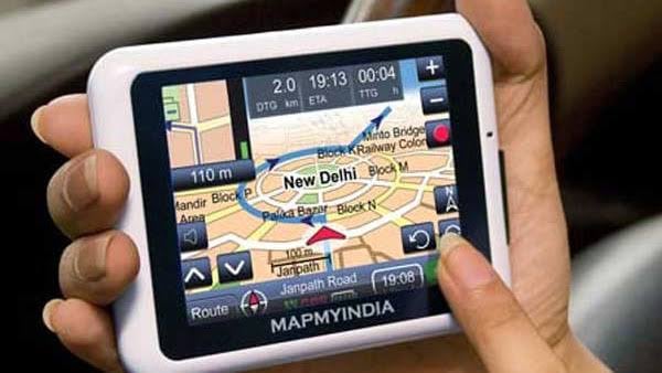
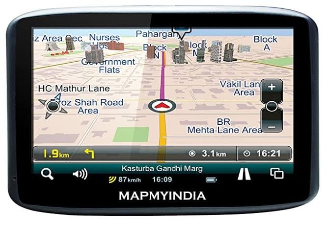
MapmyIndia

India’s leading digital maps provider- MapmyIndia is a technology company that builds digital map data and telematics services. It recently announced the public release of Mappls RealView – covering nearly 100,000 kms across hundreds of cities and more than 40 crore geo-tagged 360-degree panoramas.
The service, combined with Mappls’ from MapmyIndia and ISRO’s satellite imagery promises of an immersive metaverse experience to the users.
Enjoy and immerse yourself in 3D metaverse maps through Mappls by MapmyIndia! Take a look at beautiful Bengaluru in 3D as an example. Try now on https://t.co/VCxqlyTM3K and download the Mappls app for android/ios too. pic.twitter.com/aPhNd83HiB
— Mappls (@mappls) July 27, 2022
Mappls – Real View Maps
With Mappls RealView, users can virtually explore India like never before and interact with full 360-degree panoramas of streets and roads.
Mappls covers cities such as Mumbai, Bengaluru, Delhi-NCR, Goa, Pune, Hyderabad, Chennai, Jaipur, Ahmedabad, Gandhinagar, Chandigarh, Jodhpur, Patna, Nashik, Aurangabad, Ajmer along with the towns and highways connecting them.
Users can also views tourist landmarks, beaches, residential colonies, apartment societies, office towers and the roads connecting them so they can virtually explore and navigate with each other.
Thanks @CarToq for talking about Mappls RealView & 3D Metaverse Maps available now on https://t.co/YhUSgTSEh0 https://t.co/a4kOoHqNgO @MapmyIndia @mappls
— Rohan Verma (@_rohanverma) July 27, 2022
The free service is now available on the mapping portal – Mappls.com and the Mappls App for Android and iOS users.
Google’s Street View
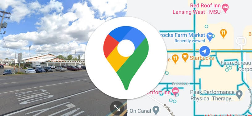
Google‘s Street View will be available in 10 Indian cities presently and covers 150,000 kilometres across the country. It plans to grow to 50 more cities by this year-end.
Given the ubiquitousness of Google products, Street View will eventually integrate with Google Maps which gives Google an advantage over MapMyIndia, as it is a default on Android devices.
Google is licensing the data from Tech Mahindra and mapping firm Genesys International to launch Street View in India.
Google launches Street View in India six years after restrictions https://t.co/eb2RtTqkXk by @jagmeets13 and @refsrc
— TechCrunch (@TechCrunch) July 27, 2022
Both Street View and RealView are available to public and private sector companies that want to integrate it into their apps and services, and to regular users.