


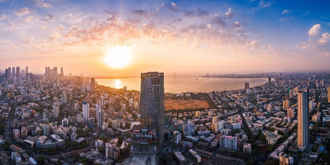
To tackle issues related to encroachment, city planning, and disaster management effectively, Brihanmumbai Municipal Corporation (BMC) initiated 3D mapping of Mumbai, on March 15. The project, inaugurated at Bandra Kurla Complex, aims to provide a detailed overview of the city’s landscape, to facilitate precise decision-making. Almost 500 sq km of Mumbai was mapped on the first day.
🌐The project “3D mapping” has commenced for the state-of-the-art urban management of the City of Mumbai.
🏙️It was inaugurated by Additional Municipal Commissioner (Eastern Suburbs) Mrs. Ashwini Bhide at Bandra Kurla Complex today.
🌐This three-dimensional mapping (digital… pic.twitter.com/0rM1kTkHcI
— माझी Mumbai, आपली BMC (@mybmc) March 15, 2024
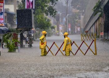
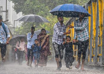
The 3D data collected will help to classify building types, according to their usage, and detailed infrastructure planning for roads, bridges, and flyovers. Further, by overlaying the proposed digital 3D model onto the existing city model, BMC aims to accurately identify project-affected persons (PAP). It will also help the civic bodies in monitoring and managing urban flooding.
Genesys International Corporation Ltd, in consortium with Veritas (India) Ltd. has secured a ₹155 crore deal with BMC for the 3D Model Project for three years. The CMD of Genesys also mentioned that its “advanced geospatial solutions will not only redefine urban planning but also foster sustainable growth.”